Habitat Mapping
The MCZ supports a variety of seabed features including shallow and deeper rocky seabed, subtidal chalk, coarse, mixed and sandy sediments, and peat and clay exposures. The subtidal chalk feature includes flat bedrock, pebbles, cobbles and boulders, gullies and more prominent raised, rugged structures. The Phase I study identified that some of these features are more susceptible to damage from fishing gear than others, with three chalk bed sites showing numerous occurrences of low, medium and severe damage, in comparison to one chalk/ flint cobble plain site where no damage was observed during the study (Tibbitt et al., 2020). As the different types of chalk feature present within the site are likely to be impacted differently by the various components of the fishing gear used, effective management will require understanding the sensitivities of the different features to the gear and knowing where these features are located.
The Research and Development T&FG have developed several projects as part of this workstream to answer the corresponding research questions, each aimed at understanding the extent and location of sensitive features across the site to inform any spatial mitigation required and to assess the level of impact across the site.
Projects have included completing habitat surveys using a BlueRov2, an underwater drone designed to take videos of the seabed, to collect additional habitat data and fill gaps. In addition to collecting data, the group have utilised of citizen science dive data sought and had multibeam data reanalyses to complete rugosity assessments.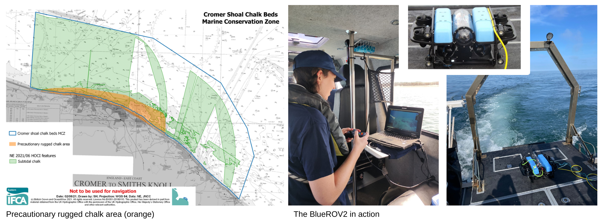
Over time as more data has become available, officers have reviewed the extent of the rugged chalk using the best available evidence. The most recent review was completed in 2024.
2022 Rugged Chalk Extent Review
2024 Rugged Chalk Extent Review
Click here to download our most recent rugged chalk, peat and clay extent: 2024_Rugged_Chalk_Clay_Peat_Extent
Examples of the different types of habitats found within the MCZ are pictured below.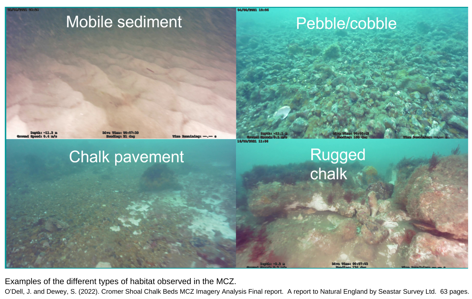


Cromer Shoal Chalk Beds MCZ Update: 2022 Rugged Chalk Review and Interactive Maps
Cromer Shoal Chalk Beds MCZ 2022 Imagery Analysis